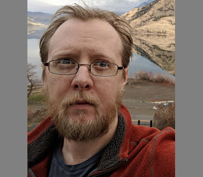
Profile Page

Jim Thatcher
Strand Agriculture Hall 318B
170 SW Waldo Place
Corvallis, OR 97331
United States
I am an associate professor in CEOAS and the editor of Cartographic Perspectives. My work examines the recursive relations between technology, society, and environment, with a specific focus on the constitution and representational properties of data within capitalist systems. This often falls within the areas of Digital Political Ecology, Critical GIS, and Critical Cartography, while much of his earlier work fell within what is now called Critical Data Studies.
Currently, I am actively researching ways to use Topological Data Analysis to model coastal flood risks in terms of equity and access; means of mapping and visualizing the infrastructural legacies of slavery in the Pacific Northwest; and processes of creating accessible disaster response maps for non-English speaking populations on the Oregon coast. I also have ongoing projects examining the governance and sale of spectra for rural internet access, the nature and role of Cartography within modern society writ large, how board games might be used as tools for climate education, and the role that geography and geographers might play in the United States’ electoral districting processes.
I am accepting new graduate students and am interested in inquiries related to the above topics or ones that bridge critical social theory, cartography, and digital/computational methods or topics in novel ways.
You can find a (mostly) complete and (mostly) up-to-date list of my publications at my Google Scholar page. My last book, Data Power, written with Craig Dalton (Hofstra University) for Pluto Press, is available in an open-access format.