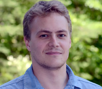
Profile Page

Jamon Van Den Hoek
Associate Professor
CEOAS Unit
Geography and Environmental Sciences
Graduate students
Accepting for advising
Strand Agriculture Hall 347
170 SW Waldo Place
Corvallis, OR 97331
United States
Curriculum Vitae
vandenhoek_cv_2022-6_0.pdf
(273.03 KB)
Website
Hello!
I'm an Associate Professor of Geography in the College of Earth, Ocean, and Atmospheric Sciences (CEOAS) at Oregon State University where I lead the Conflict Ecology lab. I use satellite imagery and geospatial data to learn about short- and long-term effects of climate change, land use, and violent conflict on people and landscapes.
I also lead the Conflict Ecology lab that uses the tools of geography and remote sensing—map making, satellite image analysis from local to global scales, and machine learning—to connect patterns of environmental condition, land use, and climate change to processes of conflict, displacement, and resilience.
My research specialties are:
- Satellite remote sensing characterization of forest, agriculture, and urbanization changes especially in humanitarian, conflict, and post-conflict contexts.
- Integration of geospatial data on human population, migration, and displacement data in land-cover/land-use change analysis.
- Application of satellite remote sensing for policy analysis related to food security, sustainable development, and disaster risk reduction.
I teach these courses:
- Geog 360: Introduction to Geographic Information Science (Spring)
- Geog 464/564: Geospatial Perspectives on Security, Intelligence, and Ethics (Spring)
- Geog 481/581: Remote Sensing II: Satellite Image Processing and Analysis (Winter)
- Geog 699: Geography of Survival
Brief Research Interests
Using satellite imagery and geospatial data to examine relationships between forced displacement, climate vulnerability, and land cover/land use change in conflict-affected regions around the world